Raster Data and Analysis in QGIS
- Time14.00 - 16.00 CET (UTC+1)
- Duration4 sessioner (6 t)
- Price2800 dkk - €375 excl. VAT
- PlaceOnline
- TeacherKurt Menke
Course content
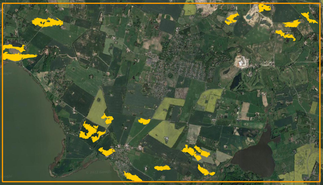
QGIS is an open source GIS program that provides unimaginable possibilities for viewing geographic data, analyzing geographic data and compiling maps. Other courses in our catalog have focused on working with vector data. QGIS can also be used to work with raster data, i.e., elevation, land use / land cover and data converted from vector to raster. This course focuses on how to work with raster data in QGIS and how to turn that data into information. You will work on a site selection analysis for a new vineyard and in the process learn many valuable workflows that can be applied to other topic areas. The course features Danish datasets.
In the course you will be learning about:
- Preparing raster data
- Loading raster data
- Building a virtual raster layer
- Raster rendering
- Reprojecting raster data
- Clipping rasters
- Resampling - e.g., from 0.4 m to 1
- Aligning raster data pixels if they do not match
- Symbolizing elevation data
- Calculating Slope and Aspect
- Raster analysis:
- Reclassification of rasters
- Introduction to the Raster calculator and Raster algebra
- Site selection analysis - Identifying suitable sites
- Slopes more than a specific threshold
- Specific aspects
- Specific land use categories
- Extracting suitable sites
- Raster to vector conversion
- Symbolizing the results
- Examples of raster analysis
- Zonal statistics
- Sample Raster Values and Point sampling plugin
- Raster analysis with the Graphical Modeler
- Other important raster tools:
- Raster Attribute Table plugin
- Unique values report
Course format
The course consists of:
- An introductory video
- Two class sessions - 2 hours each
- An assignment that is completed after each session
- Two question/answer sessions with the opportunity to ask questions about each task
Introductory video: One week before the course starts you will receive an introductory video with an introduction to working with raster data.
Course sessions: During the two live courses, course instructor Kurt Menke will lecture about raster data and demonstrate techniques.
Assignments: To support learning, after each course session you will be asked to complete an assignment taking approximately 1-2 hours to resolve. This must be solved before the next course.
Question/answer sessions: These will be held one week after each course session. During these sessions you can ask questions about the assignment.
In addition you will receive a brief manual and a series of short videos covering topics presented in the course sessions.
Course dates
- Session 1: Tuesday 28 November from 14.00 - 16.00 (CET)
- Question/answer session 1: Tuesday 05 December from 14.00 - 15.00 (CET)
- Session 2: Thursday 07 December from 14:00 - 16.00 (CET)
- Question/answer session 2: December 14 May from 14.00 - 15.00 (CET)
Course price
2800DKK - €375 excluding VAT
QGIS certified course
The course is certified by the QGIS organization, which has approved the material and the course program. When you participate in this course, you contribute 20 euros to the continued development of QGIS. You will also receive an official certificate after participating in the course.
Practical information
The course is held in English.
QGIS 3.28 is used for the course. You must ensure that you have access to a computer with this version of QGIS (or later version of QGIS) installed before the course. QGIS with either the Danish or English translation can be used.
Register before: 15 December 2023.
There must be a minimum of five registered before the course is created.
Contact Kurt kurt@septima.dk, if you want to hear more about the course.